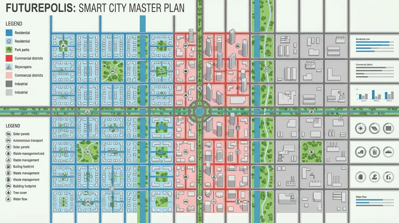
Dholera SIR is planned as one large greenfield city, and different parts of it are at very different stages of development. This guide explains the zones and Town Planning (TP) schemes neutrally, and lays out the factors people weigh when judging an area, such as the Activation Area, the expressway and the proposed airport. It presents factors, not guaranteed returns.
- The Activation Area (about 22.5 sq km) is the most developed first phase
- TP schemes are the planning units that turn farmland into serviced plots
- No area guarantees returns; verify RERA, title and N.A. status per plot
How to read this guide
Dholera SIR is India's first greenfield smart city, spanning roughly 920 sq km and developed under the Delhi-Mumbai Industrial Corridor (DMIC) as a joint effort of the central and Gujarat governments (Dholera Times, background). Because it is so large, "where in Dholera" matters as much as "whether Dholera". Some parts have finished roads, water and power; other parts are still farmland waiting for their phase.
AskDholera does not sell plots and takes no money to promote any area. The aim below is to describe the zones factually and hand you the questions to ask, not to declare a single "best" plot.
What actually makes an area attractive
Across neutral write-ups and developer material, the same handful of factors come up. None of them is a promise. They are simply the things people look at.
Proximity to the Activation Area
The Activation Area is the first fully serviced phase, so land near it tends to draw the most attention because the visible infrastructure is already there.
The Ahmedabad-Dholera Expressway
The expressway is designed to cut travel time from Ahmedabad and is reported to be near completion (Mainak Group). Areas with direct expressway access are commonly seen as better connected. Exact completion timing should be treated as uncertain until officially confirmed.
The proposed Dholera International Airport
An international airport is planned adjacent to the region, and schemes on the airport side (often cited as TP3 and TP4) are described as long-horizon plays tied to when the airport becomes operational (Dholera Acres). Timelines for airport operations are not finalised, so treat any date as provisional.
Completed trunk infrastructure
Roads, Narmada water lines, underground power and utility ducts either exist in a zone or they do not. Finished infrastructure is one of the clearer, more objective signals of how far along an area is.
The Activation Area: the first phase
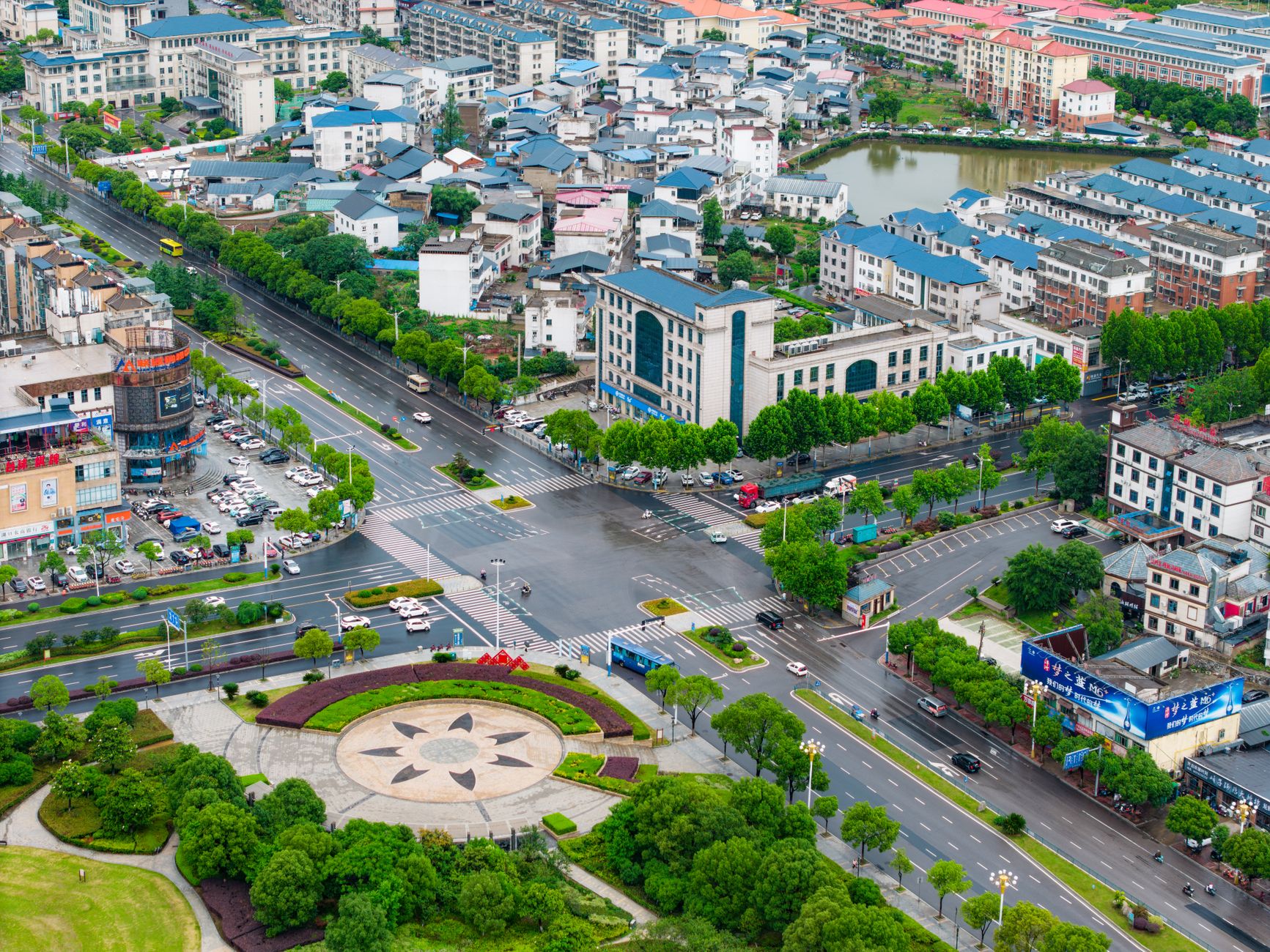
The Activation Area covers about 22.5 sq km, roughly 5% of the developable land, and is designed as a working demonstration of what the wider city is meant to become (DOZ International). It sits mainly within the TP2 and TP4 schemes. Reports describe wide roads with street lighting, water, power and ICT ducts largely in place, and it is where anchor projects and the semiconductor investment are located (Ang Dholera).
In short, this is the most developed part of Dholera today. That maturity is why it is talked about first, and also why plot prices here are generally quoted higher than in outer zones.
TP schemes, one by one
A Town Planning (TP) scheme is the legal mechanism that pools farmland, sets aside part of it for roads, parks and utilities, and returns the rest to owners as properly shaped, registered Final Plots (Nestoria). Dholera SIR is commonly described as having six TP schemes. Here is the neutral picture; stages shift over time, so verify current status before acting.
TP1 and TP2
Early schemes tied to the Activation Area, with trunk infrastructure reported as substantially in place. TP2 is often described as the most active and visible development zone (BookMyAssets).
TP3 and TP4
Schemes positioned nearer the proposed airport. TP4 also overlaps part of the Activation Area. These are commonly framed as longer-horizon areas linked to airport progress (Dholera Acres).
TP5 and TP6
Outer schemes, described as earlier-stage with more land allocated to industry in parts. Pricing here is typically quoted lower than in the Activation Area, reflecting the earlier stage of development.
The right scheme depends on your horizon and risk comfort, not on a universal ranking. A finished-infrastructure zone and an early-stage zone are simply different trade-offs.
The airport and expressway corridor
Beyond individual schemes, two pieces of infrastructure shape how people read the whole map: the Ahmedabad-Dholera Expressway and the proposed Dholera International Airport. Land that sits along these corridors is often discussed as better connected. The important caveat is that both are large public projects whose exact timelines can move, so it is safer to base decisions on what is built today than on a projected completion date.
Before you decide on an area
Location is only half the picture. Whatever zone appeals to you, the legal and paper checks are the same, and they matter as much as the map.
Verify RERA and title for the exact plot
Confirm the specific project's Gujarat RERA registration and check clear title plus non-agricultural (N.A.) status for the exact survey number. A good area with a weak paper trail is still a weak buy.
Match the zone to your horizon
An Activation Area plot and an outer TP plot suit different timelines and budgets. Decide your horizon first, then pick the zone that fits it.
Treat return figures as estimates
You will see appreciation percentages quoted widely. These are estimates that depend on execution and market conditions, and they are not guarantees. Where a number is uncertain, treat it as uncertain.
Once you have a zone in mind, the next questions are usually who to buy from and what plots cost. See our neutral Dholera developers directory and the plot price calculator to go further.
Frequently asked questions
Which area of Dholera is most developed?
The Activation Area, about 22.5 sq km within TP2 and TP4, is the first phase where roads, water, power and utility ducts have largely been built. It is the most visibly developed part of Dholera SIR today.
What makes a Dholera area attractive to buyers?
Commonly cited factors are proximity to the Activation Area, the Ahmedabad-Dholera Expressway and the proposed airport, plus completed infrastructure. Legal status such as RERA registration and clear title matter just as much as location.
Are returns in any Dholera area guaranteed?
No. No area guarantees returns. Appreciation depends on execution timelines and market conditions, which can change. Treat any specific figure as an estimate and verify facts independently.
What is a TP scheme?
A Town Planning scheme is the government mechanism that pools farmland, reserves part of it for public infrastructure, and returns the rest to owners as registered Final Plots. Dholera SIR is commonly described as having six TP schemes.